CLAY CITY SITE

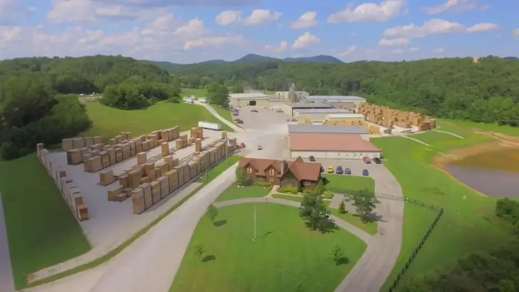
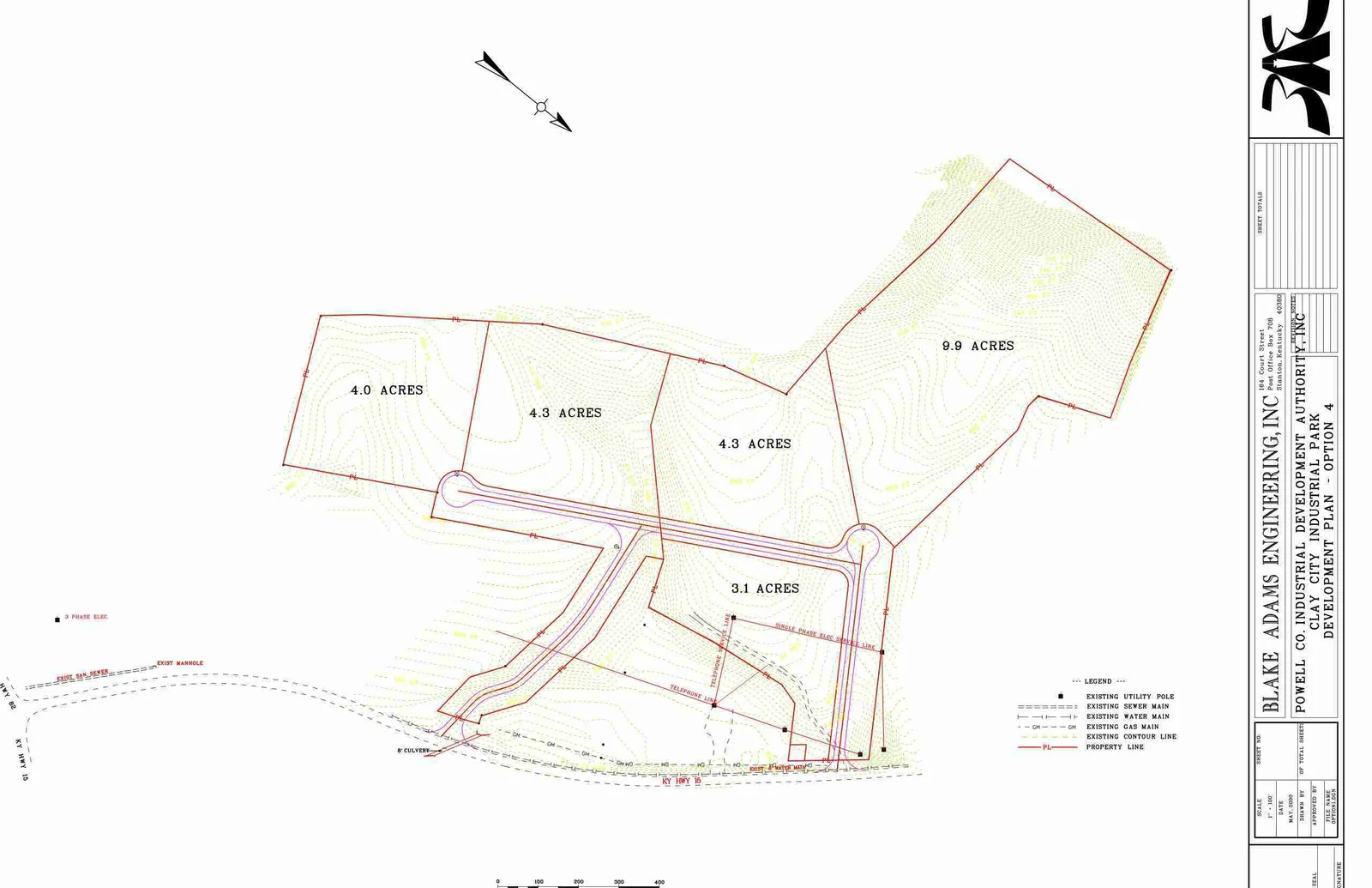
CLAY CITY BUSINESS PARK

The 30 acre Clay City Business Park is located .03 miles off exit 16 of the Mountain Parkway.  A short 16 mile drive west via 4-lane Mountain Parkway provides Clay City direct access to I-64.  Interstate 75 in Lexington, Kentucky is then easily accessed another 16 miles from the I-64 / Mountain Parkway split.  Clay City is also served by Kentucky Highways 11, 15 and 82.  All are rated AAA trucking highways.

CXS Transportation provides the nearest main line rail serve at Irvine, 14 miles south of Clay City.  Intermodal facilities are provided by the Norfolk Southern Corporation in Georgetown, Kentucky, 49 miles northwest of Clay City.

CLAY CITY BUISNESS PARK

SITE MAP

MORE ABOUT CLAY CITY

CLAY CITY STATS

Clay City is a home rule-class city in Powell County, Kentucky, United States. The population was 1,193 at the 2020 census.

CENSUS

As of the census of 2000, there were 1,303 people, 543 households, and 367 families residing in the city. The population density was 1,199.5 inhabitants per square mile (463.1/km2). There were 588 housing units at an average density of 541.3 per square mile (209.0/km2). The racial makeup of the city was 99.08% White, 0.23% African American, 0.15% Native American, and 0.54% from two or more races. Hispanic or Latino of any race were 0.84% of the population.

MARKETING

The climate in this area is characterized by hot, humid summers and generally mild to cool winters. According to the Köppen Climate Classification system, Clay City has a humid subtropical climate, abbreviated “Cfa” on climate maps